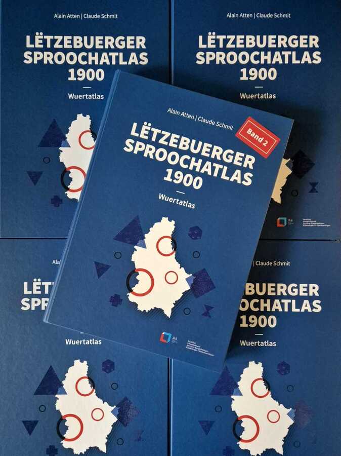
The exhibition presents a selection of maps focused on flora taken from the second volume of the Lëtzebuerger Sproochatlas 1900, the Wuertatlas by Alain Atten and Claude Schmit, which documents the old local dialects of Luxembourg and the Arlon region. The maps are accompanied by explanatory texts in German, French, and English as well as hand-drawn illustrations by Patrick Hallé.
Where does it take place?
LUGA Science Hub - Vallée de la Pétrusse
Rue Saint Ulric
2651 Ville-Haute Luxembourg
Otherwise… check out the agenda

see all the things
to do around you
Hey, don’t go away...
Get the best
outings around you
All the best deals
events
spots


